Estimation of annual fire Carbon and GHG emissions using satellite derived products
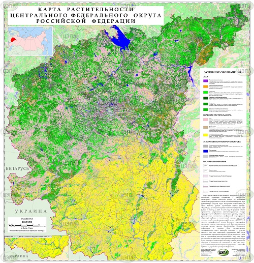
We developed and present our method for Carbon and GHG emissions from forest fires. The method is based on a comprehensive analysis of data on burned forested areas, the degree of fire forest damage and previous fire vegetation fuels (combustible vegetation fractions) of the study area. National fuel maps were created based on the vegetation and soil maps of Russia, state forest fund data records, digital elevation model and a database on the biological productivity of forest ecosystems in the test sites in various forest vegetation zones. Fuels are calculated for four vertical fractions of forest stands: top forest layer, undergrowth / undergrowth, ground cover and forest litter…