Estimation of forest taxation characteristics using satellite and ground data approach
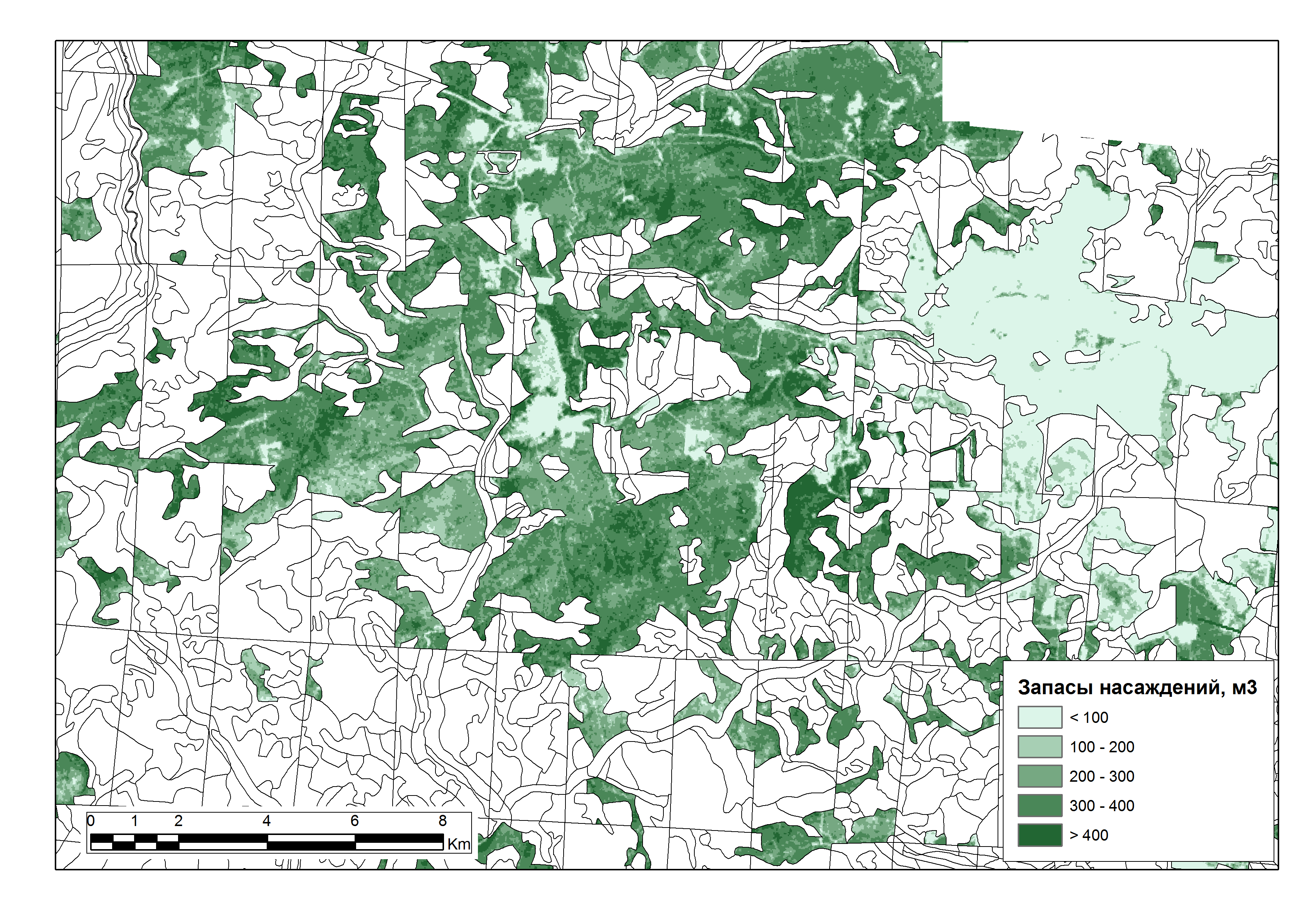
High-resolution satellite images are used in determining the stock volume of stem wood, the height and age of coniferous and hardwood forests. A method was developed to restore the regression dependencies between the spectral brightness of the red channel (winter images) and some taxation characteristics of forest inventory materials (Sochilova, Ershov, Surkov 2012, 2013,2018).


